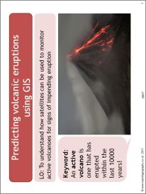
Predicting volcanic eruptions using GIS

This resource is a reading comprehension activity on volcanoes. It uses an online BBC news article and is aimed at getting students to independently learn about how active volcanoes can be monitored using satellite technology using the example of Mount Etna. Students use the article and video to complete a number of structured questions related to monitoring volcanic eruptions.
All reviews
Have you used this resource?
Review this resource29/04/2020
